
The southwest monsoon continues to remain active over large parts of central, eastern and northern India, with the latest satellite imagery revealing a significant cloud build-up over Uttar Pradesh and adjoining regions. Weather systems currently in place are expected to sustain spells of moderate to heavy rainfall across several states in the coming days, while a contrasting pattern of dry air over the northwest is limiting storm development and creating a clear rainfall divide.
Satellite View of the Current Situation
Recent satellite images show extensive cloud cover stretching across central and eastern India. Dense convective clouds are particularly prominent over Uttar Pradesh, Madhya Pradesh and neighbouring areas. These cloud masses are associated with an active weather system that is drawing in moisture and supporting widespread cloud development and thunderstorm activity.
Meteorological observations indicate a low-pressure area or low-level circulation positioned over south Uttar Pradesh and adjoining northeast Madhya Pradesh. This system is helping to organise the monsoon flow and is contributing to the observed build-up of rain-bearing clouds. The associated cyclonic circulation extends several kilometres into the atmosphere, providing the dynamical support needed for sustained rainfall.
Regions Expected to Receive Rainfall
According to the latest rainfall outlooks, Uttar Pradesh is firmly within the active monsoon belt. Moderate to heavy showers are likely across the state, with some areas experiencing intense spells. Neighbouring states including Madhya Pradesh, Bihar, Jharkhand, Chhattisgarh, Odisha, West Bengal, Uttarakhand and the northeastern region are also expected to see continued rainfall activity.
The presence of favourable moisture availability and atmospheric conditions is supporting the development of thunderstorms in these zones. Isolated heavy to very heavy rainfall has been indicated for parts of Uttar Pradesh in the near term, particularly in eastern and southwestern districts during the peak of the current spell.
The Dry Air Contrast Over the Northwest
While the central and eastern parts of the country remain under the influence of active monsoon conditions, a different picture is emerging further west and northwest. A substantial intrusion of dry air is pushing across northwest India and extending into the Arabian Sea. This dry air mass is suppressing cloud formation and limiting the growth of thunderstorms over several regions in the northwest and west.
The result is a sharp rainfall divide. Areas under the influence of the moist monsoon flow continue to receive significant precipitation, whereas regions affected by the dry air intrusion are experiencing reduced cloud cover and lighter or more scattered activity. This contrast is clearly visible in satellite imagery, which shows dense cloud bands concentrated over the central-eastern sector while clearer or less organised conditions prevail further west.
Supporting Weather Systems
The monsoon trough at mean sea level currently passes through key locations that keep the active belt aligned over the regions receiving rain. Additional features, including upper-air circulations and interactions with other weather systems, are reinforcing the moisture supply and instability needed for continued rainfall.
Western disturbances and other mid-latitude influences are present over the far northern parts of the country, contributing to cloudiness over the western Himalayan region and adjoining plains in a more limited manner. However, the primary driver of the widespread rain over Uttar Pradesh and the central belt remains the monsoon low-pressure system and the associated moisture surge.
Outlook for the Coming Days
Weather models and official assessments indicate that the southwest monsoon is likely to stay significantly active over the central, eastern and northern regions through the next week. Spells of moderate to heavy rainfall are expected to continue in the currently favoured zones, with the active belt remaining concentrated where moisture and dynamical support are strongest.
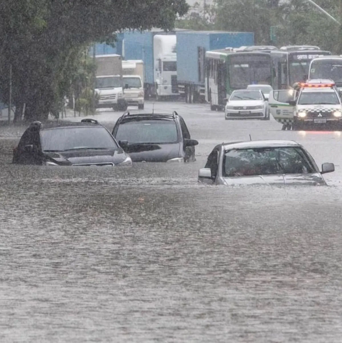
Farmers, local authorities and residents in Uttar Pradesh and neighbouring states should remain prepared for interruptions caused by heavy showers, possible waterlogging in low-lying areas and the usual associated hazards of thunderstorms and lightning. At the same time, regions under the influence of dry air may see relatively quieter conditions, though isolated activity cannot be ruled out entirely.
Broader Monsoon Context
The current phase reflects the typical variability of the monsoon season, in which organised rain belts shift in response to the position of low-pressure systems, the strength of the monsoon trough and the presence or absence of dry air intrusions. Satellite monitoring has become an essential tool for tracking these shifts in real time, allowing meteorologists to identify both the zones of intense activity and the areas of suppression.
For Uttar Pradesh, the present cloud build-up signals a continuation of beneficial rainfall that can support agricultural activities, provided the intensity remains within manageable limits. The simultaneous presence of dry air to the west serves as a reminder that monsoon rainfall is rarely uniform across the country and that sharp spatial contrasts are a regular feature of the season.
What Residents Should Keep in Mind
Those in areas under the active rain belt are advised to follow official weather updates closely, avoid unnecessary travel during intense spells and take standard precautions against thunderstorms and localised flooding. Authorities are likely to monitor river levels and urban drainage systems as the rainfall continues.
In summary, the latest satellite pictures confirm that the monsoon remains firmly active over Uttar Pradesh and a broad swathe of central and eastern India. A major cloud build-up is in place, supported by an organised weather system, while dry air over the northwest is creating a distinct boundary between wet and relatively quieter conditions. This pattern is expected to persist in the near term, delivering continued rainfall to the currently favoured regions.
Read more – wisdomsuvichar.com